
Free Download ESRI ArcGis Pro 3.6 Patch 4 (3.6.4) | 22.8 Gb
Languages Supported: English, العربية, 汉语, 漢語, Čeština, Suomi, Français, Deutsch,
Italiano, עִבְרִים, Italiano, 日本語, 한국어, Polski, Português (Brazilian),
Русский, Español, Svenska, Türkçe
Esri, the global leader in spatial analytics technology, has released ArcGIS Pro 3.6 Patch 4 is desktop geographic information system (GIS) software for advanced mapping, analytics, and data management.
The November 2025 release of ArcGIS Pro 3.6 adds new capabilities that simplify georeferencing and expand direct-read support for Civil 3D and Revit content. These updates reduce manual steps and provide more complete representations of design data in your maps and scenes.
Code:
https://www.youtube.com/embed/WVIjHJ4sdNMWhat's new in ArcGIS Pro 3.6 Patch (3)4
ArcGIS Pro 3.6.4 fixes the issues listed below and includes the fixes for ArcGIS Pro 3.6.0, 3.6.1, 3.6.2, and 3.6.3.
BUG-000184479 ArcGIS Pro crashes when selecting link chart entities with default properties.
BUG-000178288 When using the Create Feature Class or Add To Feature Class option from the Locate tool results in ArcGIS Pro, the following error message is returned: "Error adding location. Ensure you are signed in to ArcGIS Online and have geocoding privileges." This message is displayed even when the active portal is ArcGIS Online and the user has the required geocoding privileges.
BUG-000179480 The Features button on the Error Inspector pane fails to select the underlying features returning the error on the map.
BUG-000179600 The size tag of a dynamic text is not correctly handled in ArcGIS Pro layouts when the size is set to 0.
BUG-000179618 All subtype names are displayed in the pop-up when selecting a feature that has relationships between a feature class (without subtypes) and a subtype group layer in ArcGIS Pro.
BUG-000180719 The Reconstruct From Seeds tool hangs ArcGIS Pro when a boundary segment from a different parcel type is used to replace a deleted segment in a parcel.
BUG-000181112 In ArcGIS Pro 3.6, the dropdown on the Template tab of the Paste Special dialog box does not reference the group layer names.
BUG-000181492 In ArcGIS Pro, when running the data check on the 'Feature on Feature' check with the Evaluate Z parameter enabled to find intersects spatial relationships, any points on multiple 3D line features that intersect in 2D space but do not intersect in 3D space are returned as errors.
BUG-000181821 The Workflow pane in ArcGIS Pro triggers SEVERE errors in the ArcGIS Server logs.
BUG-000182063 Unable to access the items within a style class for a style in the details panel of the catalog view in ArcGIS Pro 3.6.
BUG-000182100 Geocoding in ArcGIS Pro 3.6 to ArcGIS Pro 3.6.1 consistently returns Unmatched results, displaying error 499 for missing authentication token.
BUG-000182184 ArcGIS Pro performs slowly while editing annotations and after the Modify Features window opens.
BUG-000182352 Newly created parcel fabric records are intermittently not selected in Tasks when a project is created from a template that already contains Tasks and no map is open at project creation time.
BUG-000182510 Editing editor tracking enabled data in ArcGIS Pro with Microsoft Entra Integrated authentication type for Microsoft Azure SQL shows the user as ESRI_ANONYMOUS.
BUG-000182617 The location-allocation solver chooses a suboptimal facility for a demand point when there are closer facilities available with capacity using the Maximize Capacitated Coverage problem type.
BUG-000183024 When sharing a layer as a web layer, the Summary text box does not accept text spaces.
ESRI ArcGis Pro 3.6 Patch 4
ESRI ArcGis Pro 3.6 Patch 4
Esri ArcGISis a geographic information system (GIS) software platform. GIS is used primarily to analyze spatial and locational data. The Esri ArcGIS platform offers both traditional desktop applications as well as cloud based tools.
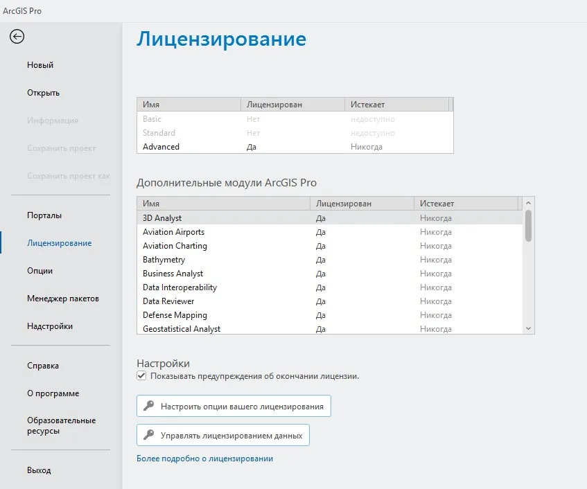
ArcGIS Pro, the powerful single desktop GIS application, is a feature-packed software developed with enhancements and ideas from the ArcGIS Pro user community. ArcGIS Pro supports data visualization; advanced analysis; and authoritative data maintenance in 2D, 3D, and 4D. It supports data sharing across a suite of ArcGIS products such as ArcGIS Online and ArcGIS Enterprise, and enables users to work across the ArcGIS system through Web GIS. This powerful component of ArcGIS, Esri's geospatial platform, requires installation and runs on Windows only.
ArcGIS Pro: The World's Leading GIS Software
Code:
https://www.youtube.com/embed/2KJ9q2Ub1REEsri , the global market leader in geographic information system (GIS) software, location intelligence, and mapping, helps customers unlock the full potential of data to improve operational and business results. Founded in 1969 in Redlands, California, USA, Esri software is deployed in hundreds of thousands of organizations globally, including Fortune 500 companies, government agencies, nonprofit institutions, and universities. Esri has regional offices, international distributors, and partners providing local support in over 100 countries on six continents. With its pioneering commitment to geospatial technology and analytics, Esri engineers the most innovative solutions that leverage a geographic approach to solving some of the world's most complex problems by placing them in the crucial context of location.
Owner: Esri
Product Name: ArcGIS Pro
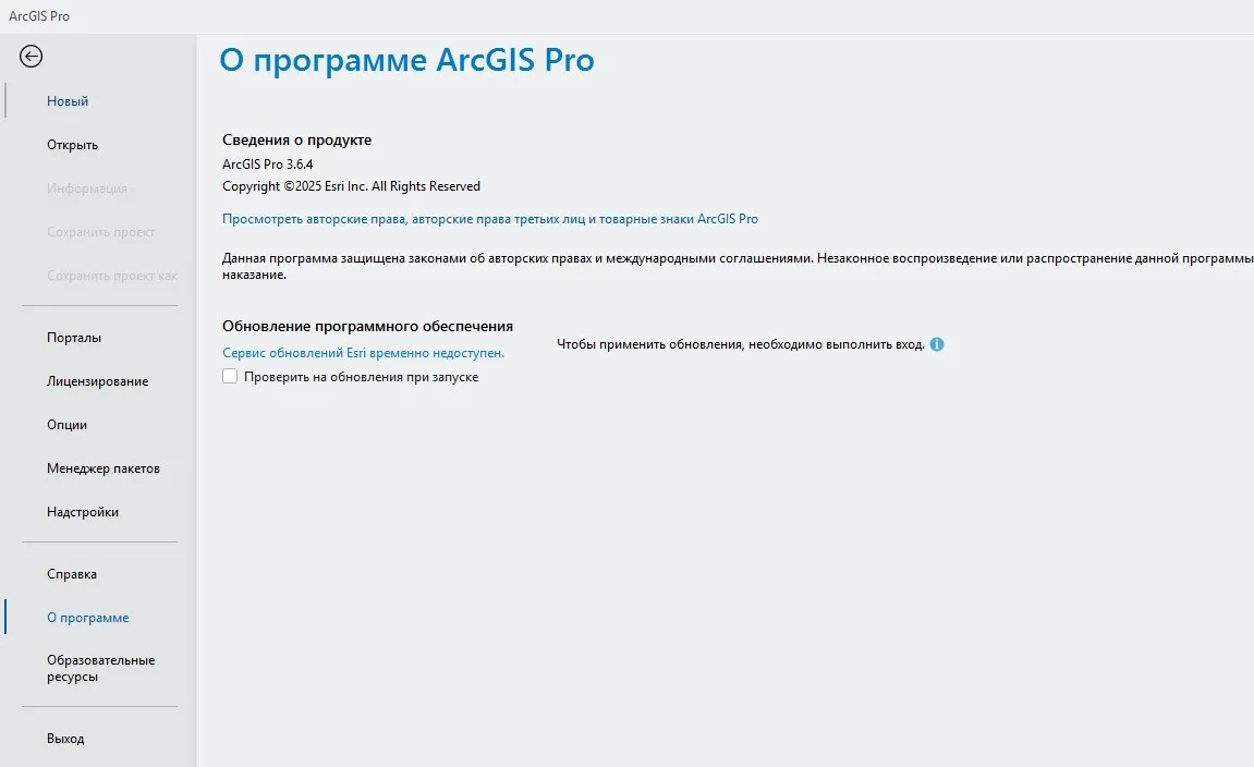
Version: 3.6 Patch 4 (3.6.4)
Supported Architectures: x64
Website Home Page :
Code:
http://www.esri.comSystem Requirements Windows *
Size: 22.8 Gb
* System Requirements
ESRI ArcGis Pro 3.6 Patch 4

Recommend Download Link Hight Speed | Please Say Thanks Keep Topic Live
Rapidgator
ESRIArcGisPro36Patch4.html
DDownload
m97wk.ESRI-ArcGis-Pro-3-6-Patch-4.part1.rar
m97wk.ESRI-ArcGis-Pro-3-6-Patch-4.part2.rar
m97wk.ESRI-ArcGis-Pro-3-6-Patch-4.part3.rar
m97wk.ESRI-ArcGis-Pro-3-6-Patch-4.part4.rar
m97wk.ESRI-ArcGis-Pro-3-6-Patch-4.part5.rar
m97wk.ESRI-ArcGis-Pro-3-6-Patch-4.part6.rar
FreeDL
m97wk.ESRI-ArcGis-Pro-3-6-Patch-4.part1.rar.html
m97wk.ESRI-ArcGis-Pro-3-6-Patch-4.part2.rar.html
m97wk.ESRI-ArcGis-Pro-3-6-Patch-4.part3.rar.html
m97wk.ESRI-ArcGis-Pro-3-6-Patch-4.part4.rar.html
m97wk.ESRI-ArcGis-Pro-3-6-Patch-4.part5.rar.html
m97wk.ESRI-ArcGis-Pro-3-6-Patch-4.part6.rar.html
Links are Interchangeable - No Password - Single Extraction